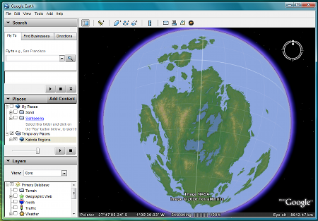
I love Google Earth, especially now I've worked out how to slap my maps on the spinny globe thingy. This is a view of the Koese Archipilago at 1,000km altitude:
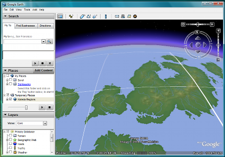
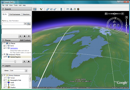
And this view, from a similar elevation, shows the remnants of one of the epicontinental seas before the Disaster struck - the loss of the seas is one of the key reasons why human habitation of Falah, the largest continent on the planet, failed - with the population crashing from over 300 million to a few tens of thousands within 200 orbits of the falls in ocean levels:
Yes, I know, it's not writing my book; I promise I shall finish the first draft of my book before the end of the month. Promise!